Description
Modeling Walls with QGIS
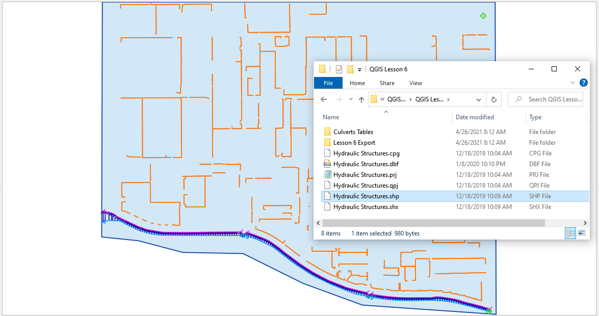
This training package outlines the process to convert a Walls shapefile to a Levee layer. More information on modeling walls can be found in the 2021 version of the Levee guidelines. This document can be found here:
“C:\Users\Public\Documents\FLO-2D PRO Documentation\flo_help\Manuals\Levee, Dam, and Wall Breach Guidelines 2021.pdf”
The training package includes:
- Presentation on modeling walls;
- Creating and editing walls using QGIS Plugin Lesson 4
- Walls Modeling Video
1-Hour Training Certificate upon completion.
Use this link to download a Wallstraining package.
Use this link to set up walls using a tutorial.


