Description
Flood Mapping with Mapper Training Package
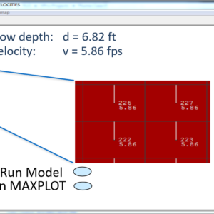
This training package will cover how to use the Mapper program that is installed with FLO-2D. Mapper is a stand alone program created specifically for reading and plotting FLO-2D results. The video “FLO-2D Mapper – Flood Mapping.mp4” will cover all of the ways to use Mapper.
Basic Mapping with Mapper
- Mapper overview;
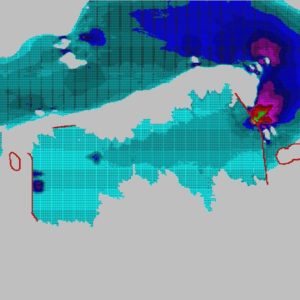
- Creating plots;
- Layer editing;
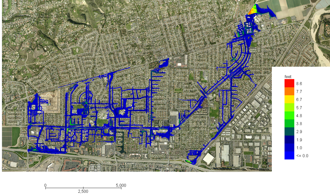
- Creating Shapefiles.
Advanced Mapping with Mapper Creating Contours
- Berms project;
- Create contours;
- Edit contour intervals;
- View contour shapefile in QGIS.
Advanced Mapping with Mapper Animation
- Setup animation control;
- Animation in Mapper;
- Create a screen capture video.
Advanced Mapping with Mapper Advanced Mapping Tools
- Depth to DTM point;
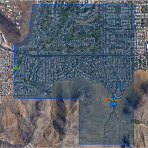
- Hazard Mapping;
- Damage Assessment.
Advanced Mapping with Crayfish
- Creating Animations;
- Editing Contours;
- GIS Mapping Interface.
A 3.0 Hour Training Certificate available upon completion.