Mapping
Build a basic overland flow project and add details
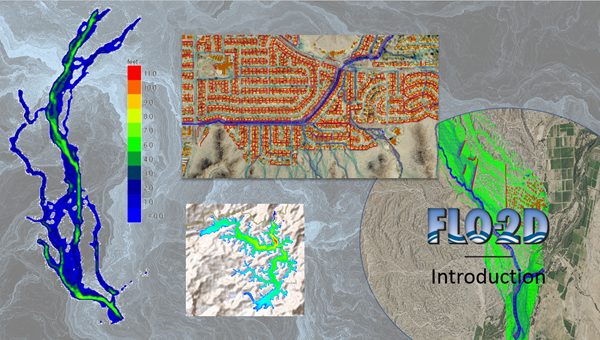
This training package shows how to access the FLO-2D help files and data file processor programs.
Build a basic overland flow project and add details
This training package shows how to access the FLO-2D help files and data file processor programs.