Getting Started
Build a basic overland flow project and add details
This training package shows how to access the FLO-2D help files and data file processor programs.
Introduction to FLO-2D
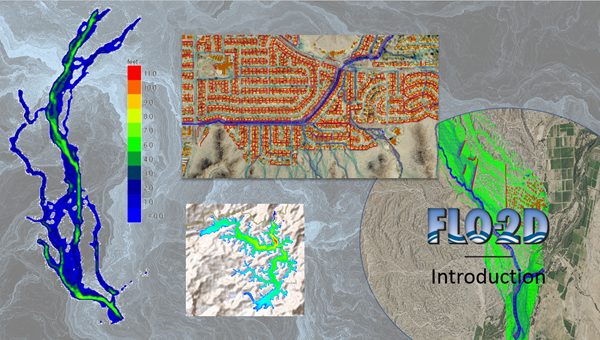
FLO-2D is a two-dimensional flood routing software that can simulate hydrology and hydraulics over a grid system. This training package will introduce the software and expand on it’s capabilities. The most common uses for FLO-2D are as follows:
- Overland flood routing
- Rainfall and infiltration
- Urban flood studies and coastal flooding
- Riverine flood studies
- Tailings dam and mudflow studies
- Mountain hazard
![]()
FLO-2D Installation and Set-up
Use this training package to learn how to install FLO-2D and it’s processing programs.
- General installation of FLO-2D and GDS
- Installation of QGIS
- Installation of FLO-2D Plugin for QGIS and Plugin Documentation
![]()
Getting Started QGIS and FLO-2D Plugin
This training package outlines how to start a simple overland flow project with QGIS and the FLO-2D Plugin.
- QGIS and plugin overview
- Create a project
- Run the simulation
Getting Started GDS
This training package shows how to set up a simple project using the GDS.
- GDS Overview
- Create a project
- Run the simulation
![]()
Floodplain Attributes
This GDS training package outlines the process to add detail to the overland flow model.
- Spatially variable Manning’s n
- Buildings
- Streets
- Walls or levees
![]()