Elevation Data Preparation
This training package will outline the process to develop elevation data for the GDS and QGIS.
This training package is a set of video tutorials that cover the processes to develop elevation data for the GDS and QGIS.
Elevation data prep topics include:
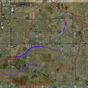
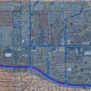
- Research elevation sources
- Download elevation data
- Reproject elevation files
- Convert units
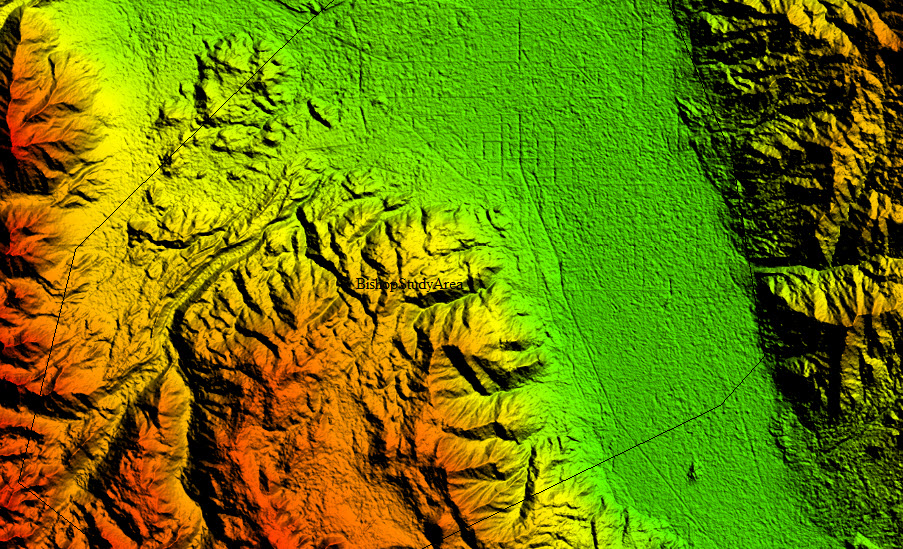
- LiDAR elevation resources and data prep
File types that can be used for FLO-2D:
- ascii xyz *.txt, *.pts
- Ascii Grid *.asc
- Geotif *.tif
- Digital elevation model *.dem
- LiDAR data files *.LAS, *.LAZ
Elevation correction and modification topics include:
- Modifying grid elevation via a TIN
- Modifying elevation with a clipped raster
- Elevation point and polygon use
- QGIS elevation modification tools
The training package contains:
- Elevation data for practicing
- Video tutorials elevation data and resources
- Aster earth data instructions
- Point from AutoCAD surface instructions
- QGIS elevation data modification tools video
- LiDAR training package
A certificate of 4 training hours is available upon completion of this training package.