Description
Boundary Conditions
Inflow Boundary Conditions:
Floodplain Inflow
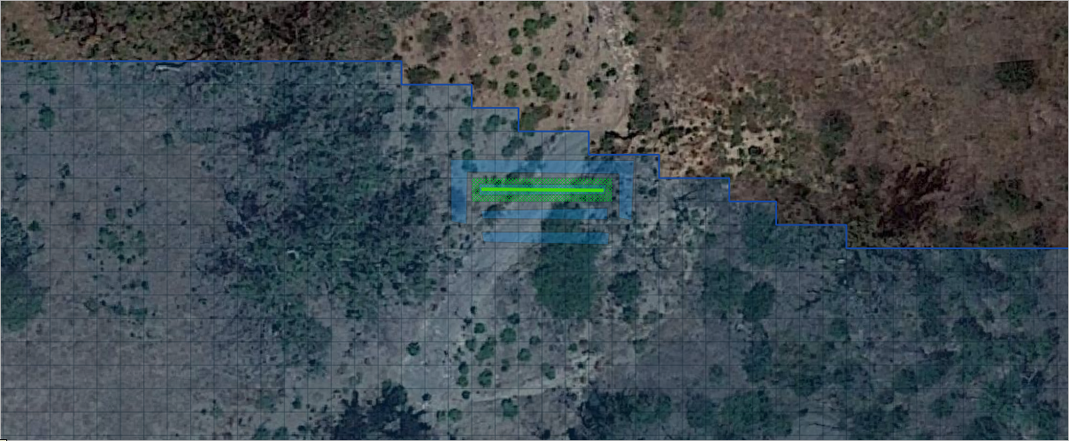
Floodplain inflow nodes are used to define a point or line location where an inflow hydrograph is placed to add water to the grid system. This training package defines the various types of floodplain inflow conditions and explains how to set them up using the FLO-2D Plugin for QGIS.
Download the training package. Download Video
Channel Inflow
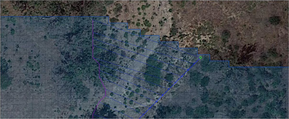
Channel inflow nodes are used to define an inflow hydrograph to a channel cross section. This system can be used to add water to a channel from a sub-watershed or an irrigation flow. This training package defines the various types of channel inflow conditions and explains how to set them up using the FLO-2D Plugin for QGIS. It also explains how to resolve instability in a channel due to the shape and size of the inflow hydrograph.
Download the training package. Download Video
Floodplain Outflow
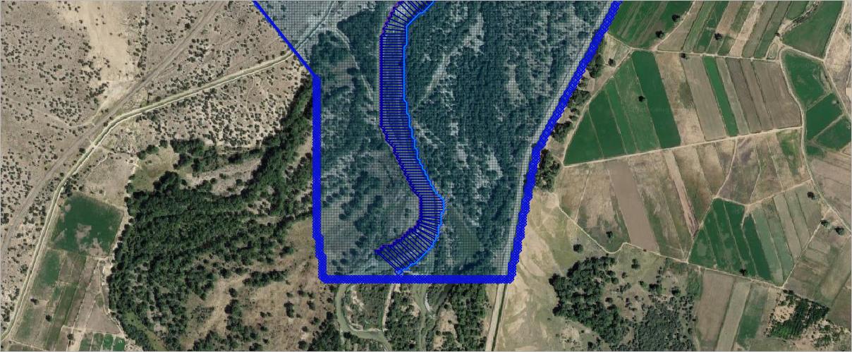
Floodplain outflow nodes define the boundary condition along the downstream edge of a project domain. The cells along the boundary of the grid can be assigned a normal depth outflow condition. This training package discusses the constraints of this system and how to apply it using the QGIS FLO-2D Plugin.
Download the training package. Download Video
Channel Outflow
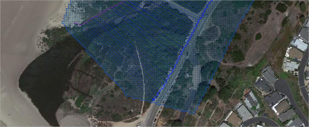
Channel outflow nodes define a normal depth boundary condition at the end of a channel. The training package discusses the applicability of this system and how to set it up using the QGIS FLO-2D Plugin. Download the training package. Download Video
Variable Stage - Water Surface Interface
FEMA FIS Mapping Boundary
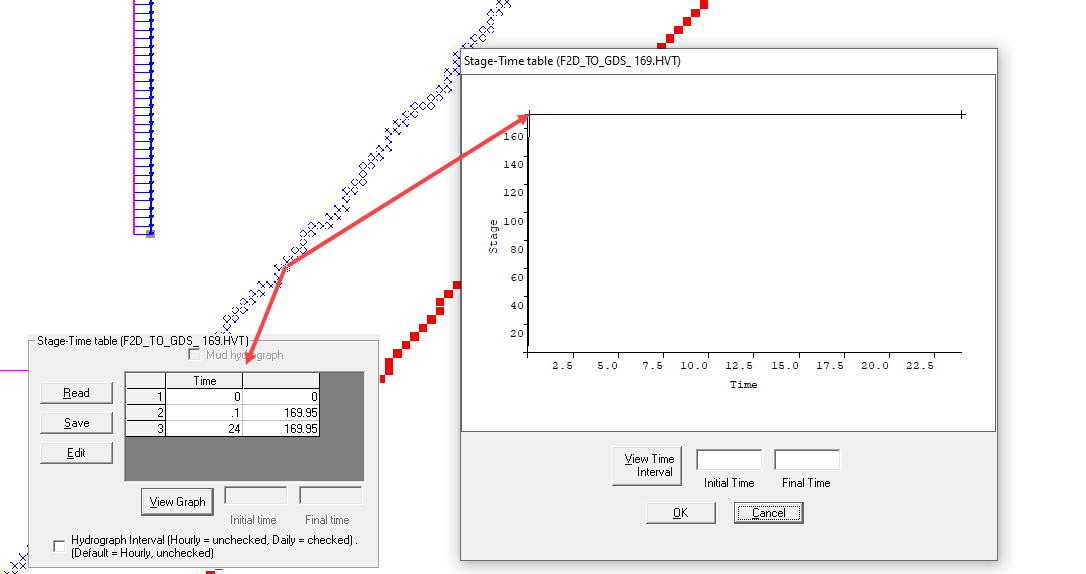
FIS maps should match the water surface elevation along a boundary. This tool sets the stage at the boundary where the water surface elevation is defined by the current FIS maps. A distict elevation can be set for each cell along the boundary to account for changes in topography. The training video describes how to set this up.
Coastal Conditions
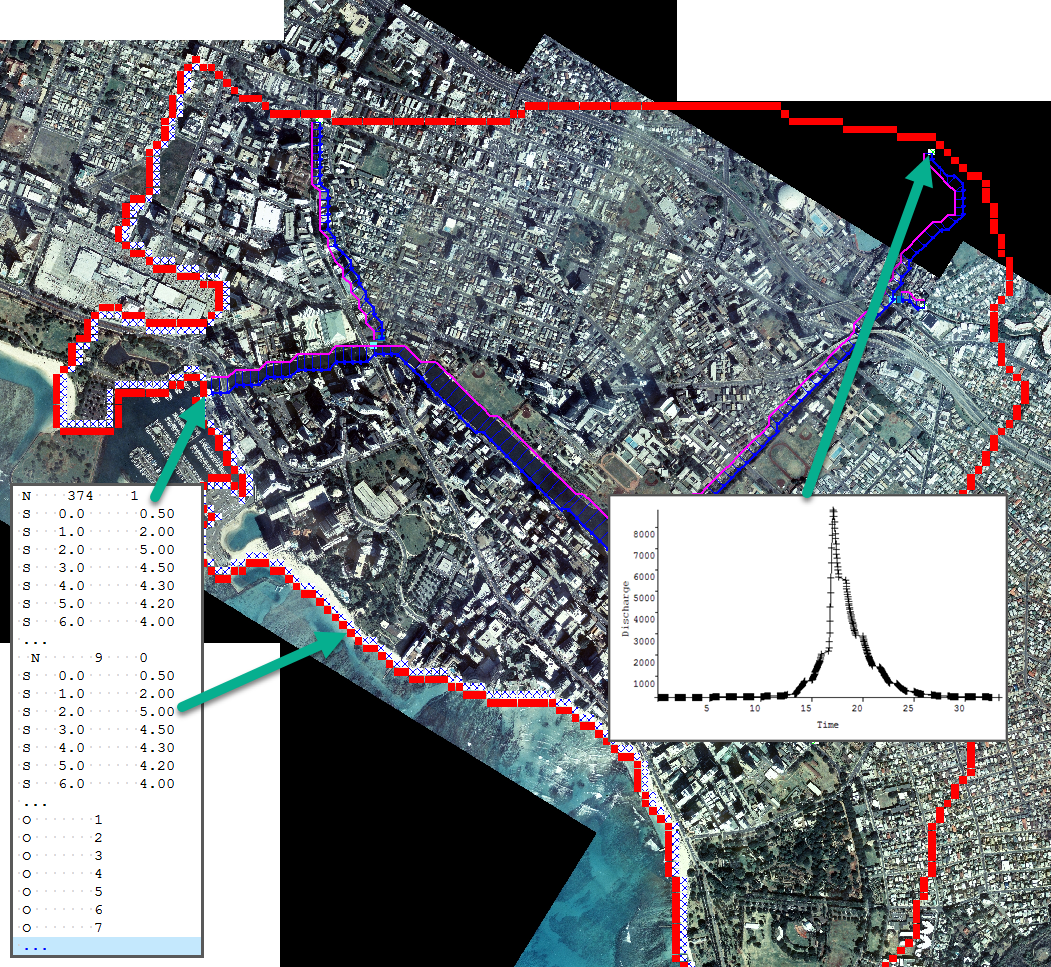
Stage time tables are applied along boundaries to define flooding from a source that is defined by a stage time condition.
- Coastal Flooding – Video Time 12:38
- Tide – Video Time 12:38
- Storm Surge – Video Time 12:38
- Tsunami – Video Time 12:38
Flooding from downstream river source- Video Time 20:38
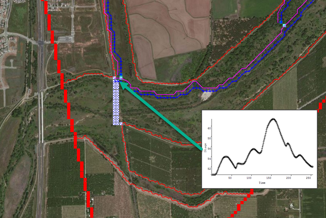
Flooding from a downstream river system can be set up using a Time Stage interface. Start the video at time. 20:38 to see the how to configure this system. The video discusses the parameters, conditions and a demo on how to set this system up with GDS and QGIS.
Multiple Domain Flow Exchange
Multiple Grid System Flow Exchange
This training package focuses modeling upstream to downstream domain water exchange between multiple grid systems.
- Setting up the upstream grid;
- Creating the inflow data file;
- Setting up the downstream grid;
- Complete downstream simulation.
1 Hour Training Certificate available upon completion.

